Rockaway and the Roar of Hurricane Erin
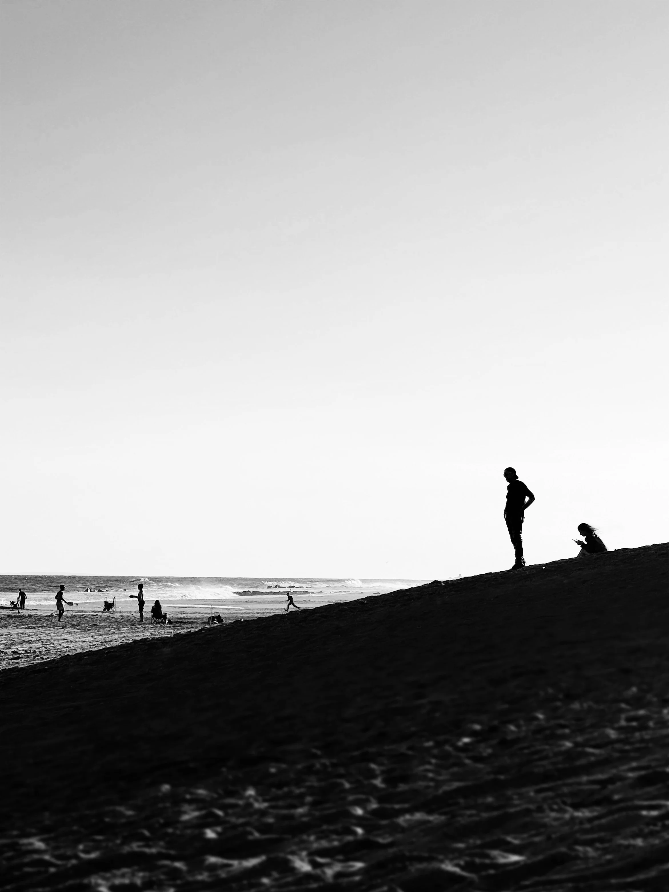
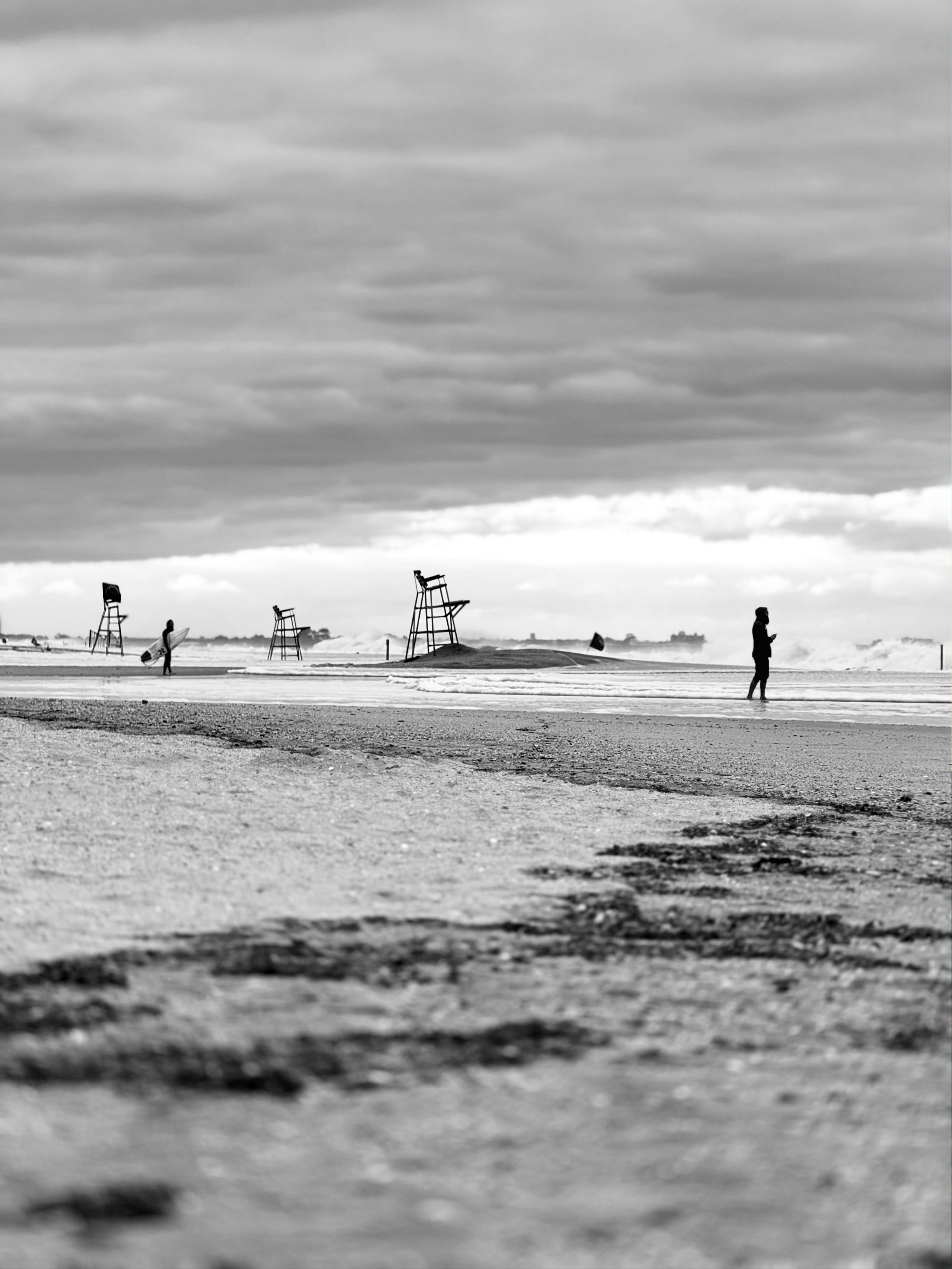
📷 All photos taken by me at Rockaway Beach during Hurricane Erin’s offshore swell.
📍 Arverne, NY
On Rockaway Beach that late August, the ocean seemed changed. Hurricane Erin, still far out at sea, had redrawn the horizon. Waves rose higher than most had ever seen—nine feet off Rockaway, sixteen farther south—pulling in surfers who treated the day like a festival, and crowds who lined the boardwalk with phones lifted, murmuring at the spectacle. The shoreline felt like a stage, the Atlantic both performer and threat.
But Erin was no ordinary storm. At its height, it stretched more than 650 miles wide, among the largest ever recorded in the Atlantic. In just twenty-four hours it leapt from a tropical storm to a Category 5, winds screaming at 160 miles an hour. A small shift in its path toward land would have brought Rockaway far more than dramatic surf.
To scientists, storms like Erin are a warning. Warmer seas fuel rapid intensification, now five times more common than forty years ago. This time, New York got a spectacle—and a reprieve. The spectacle may return. The reprieve may not.